On 9/27/11 5:37 PM, Jeff Whitaker wrote:
On 9/27/11 4:57 PM, Isidora wrote:
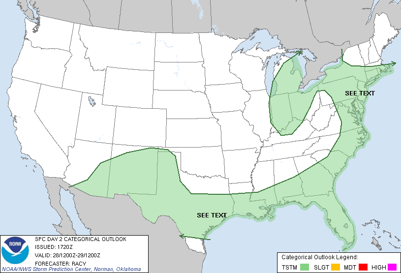
The attached map shows plotted fill paths whose filling extends only to the U.S. borders. Is there any way I could accomplish something like it using Basemap?
Thanks
Isidora:
It's probably possible, but there's no simple recipe. The drawcoastlines
method returns a LineCollection which you should be able to use to do what
you want. Sorry I can't be more specific, but I don't have time to go into
any more depth right now.
-Jeff
Isidora: Another option would be to create a gridded field defining the
area you would like to enclose, use contourf to draw the boundaries of the
region, then mask out the ocean areas with the maskoceans function.
-Jeff
---------- Forwarded Message ----------
From: "Isidora" <isidora@...3269...>
To: matplotlib-users@lists.sourceforge.net
Subject: matplotlib - fill open path inside U.S. borders
Date: Mon, 26 Sep 2011 19:55:49 GMT
Hi,
I am trying to plot filled paths over a U.S. map. I plot the given paths,
but since these are not closed paths, the filling is truncated at a line
drawn between last and first point in the path. I want to extend the path
to the United States border instead.
I am no expert in matplotlib or GIS. Could anyone help me find
documentation or blogs discussing this type of issue? I am convinced
somebody else has already faced this problem although I have not been able
to find any paper, documentation, blog on it.
Thank you
------------------------------------------------------------------------------
All the data continuously generated in your IT infrastructure contains a
definitive record of customers, application performance, security
threats, fraudulent activity and more. Splunk takes this data and makes
sense of it. Business sense. IT sense. Common sense.
http://p.sf.net/sfu/splunk-d2dcopy1
_______________________________________________
Matplotlib-users mailing list
Matplotlib-users@lists.sourceforge.net
matplotlib-users List Signup and Options